Bibliografía Mundial
Automatically generated translation
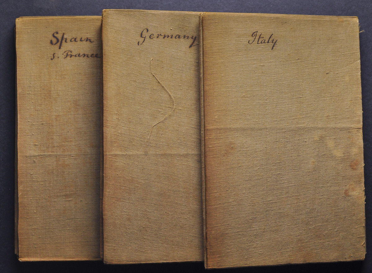
 1814. CARTE DES ROUTES DE POSTES DE L'EMPIRE FRANCAIS DU ROYAUME D'ITALIE ET DE LA CONFEDERATION DU RHIN. Quartered and canvas map in four sections by the editor (80 cm x 50 cm each section) detailing the cartography of GREAT BRITAIN, FRANCE, GERMANY, AUSTRIA-HUNGARY, ITALY and SPAIN. MAGNIFICENT AND RARE, INCLUDING THE ENTIRE IBERIAN PENINSULA, AND THE FRENCH POSTAL SYSTEM TO WHICH NAPOLEON INCLUDED SPAIN. Edition, 1814. By P. Tardieu.