Castile-La Mancha. Postal History
Automatically generated translation
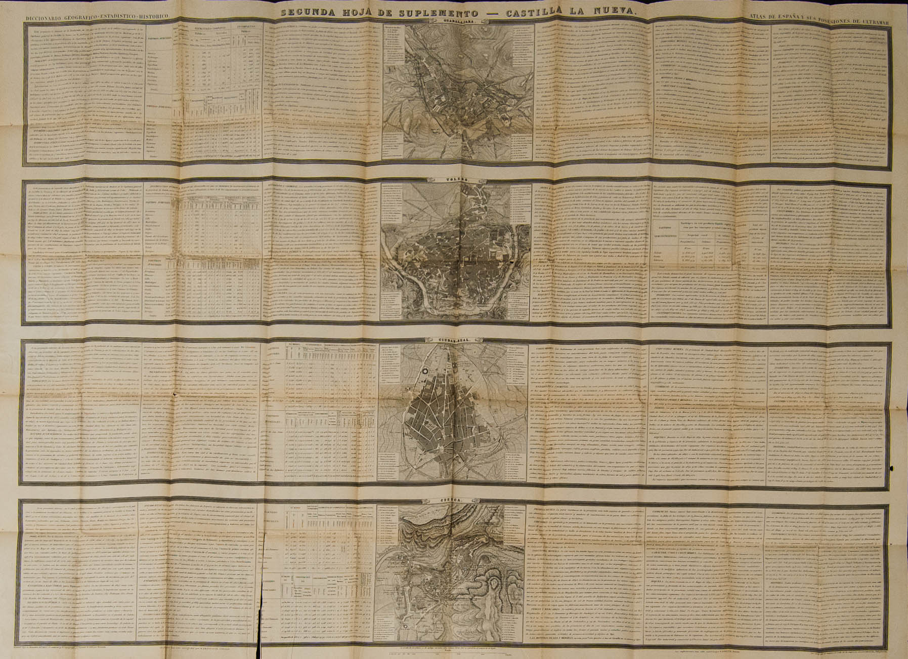
 (1860ca). ATLAS OF SPAIN AND ITS OVERSEAS POSSESSIONS, Francisco Coello. Corresponding to the 2nd Sheet of the CASTILLA LA NUEVA Supplement and in the hardcover edition of 1860ca (map with some insignificant tear coinciding with a fold), historical, administrative data, etc. and the plans of the largest cities in the province are included. at that time. MAGNIFICENT AND UNUSUAL MAP OF THE PERIOD OF ISABEL II, WHICH INCLUDES ALL THE POST ROUTES OF THE PERIOD, IDEAL FOR THE STUDY OF THE POSTAL HISTORY OF THE COLLECTOR OF THIS REGION, THIS WORK HAS ALWAYS BEEN PRESENT IN THE GREAT SPANISH PHILATELIC LIBRARIES SUCH AS THOSE OF MONGE, CLIMBING, TIZON, GALVEZ. Ex-GRAUS.
